Not wanting to limit myself to exploring only beaches, I cut inland from Discovery Bay National Park, through the town of Hamilton and up towards the Grampians.
As my travel plans were no more formal than "following my nose", when ready to move on I would simply chose the next interesting-looking national park that was more-or-less on my way and off I went.... the decision to visit the Grampians therefore was not planned in advance.
I admit that I did not know anything about the Grampians before driving towards them, aside from a back-of-the-mind awareness that perhaps it might be a good place for rock-climbing...
I recall with strong clarity the 1st moment I took in the dimensions of the craggy ranges rising out of the flat plains. It was then I knew with certainty that I was going to love the Grampians and that it would take days there to take it all in.

Realising therefore that I would need more fuel, I actually turned around, drove 30kms back to the nearest fuel station before returning towards park... an excellent decision as it turns out. I estimate I drove about 200kms of off road 4wdr trails in this park, loving every moment of it.
So without planning my journey, or even knowing what to expect, I enjoyed a remarkably thorough exploration of the park.
Before I drove into the park I had looked into booking a campsite (while I had cellphone cover) but being a public holiday weekend, everything was booked aside from one night at a one bush camping ground. Despite this I decided to go on into the park anyway and see how it went.
Driving into the park from the coast I entered the park and randomly turned onto the Victoria Range Road, an excellent choice.
I understand now that many of the 4wdr tracks I explored are closed in the wetter months, but they were open and in excellent condition for my journey.
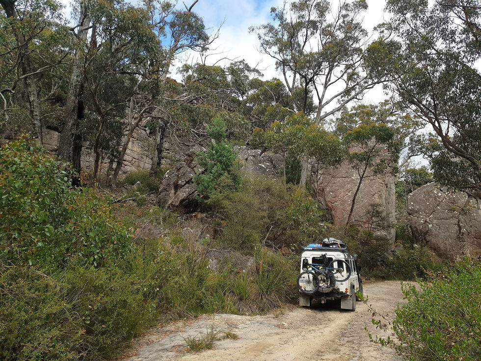
Victoria Range Road began as a very easy 4wdr track which climbed, and climbed and climbed up the mountain range = fun.
The rock formations are so powerful so raw and beautiful I felt like I wanted to take photos of them all !!! Ridiculous, I know, but that is what it felt like.
Despite being a long weekend, I had the Victoria Range Road to myself and was able to take my time cruising along, admiring the scenery while enjoyed the 4wdriving.
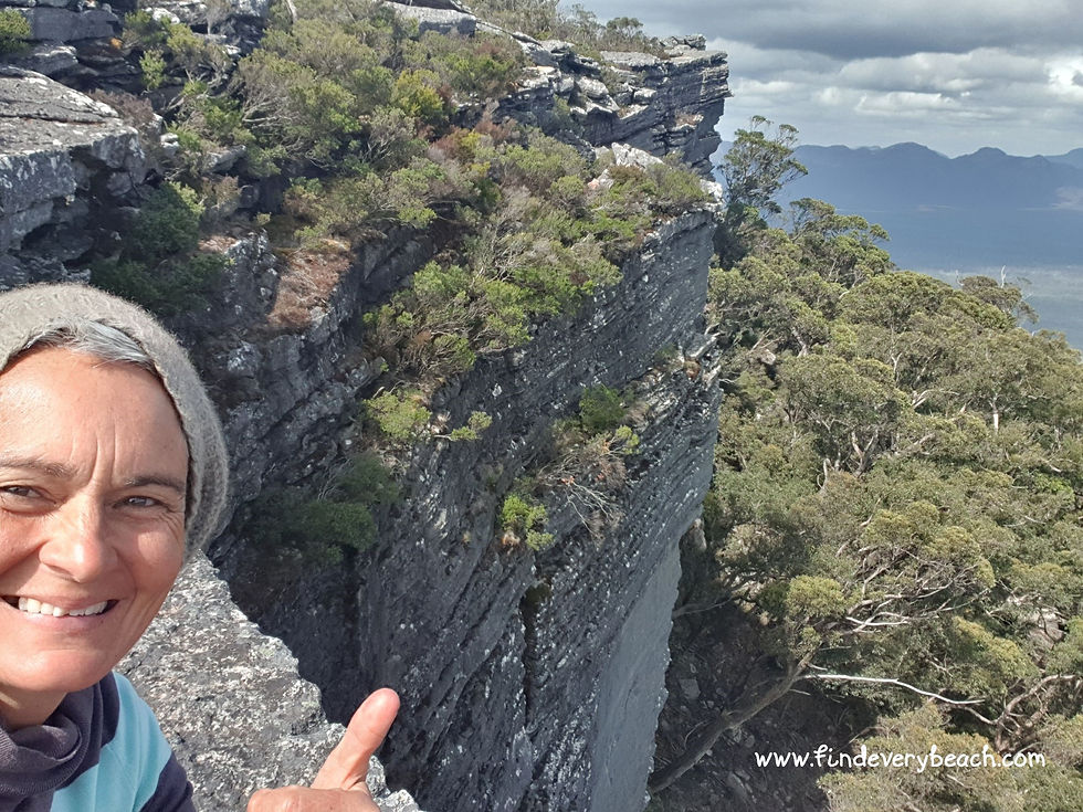
Heading in the approximate direction of my official prepaid camp site , I found a glorious flat rocky ledge near the top of one of the bluffs, with a picture window out on the world below (see pic below) and decided to forego the official camp site in favour of this divine spot.

This was the perfect camping spot for me:
Remote
Quiet
Big views
No People
Of course with a total fire ban (and most of Australia burning at the time) I did not use the fire pit, but its presence gave me confidence that the location had been used as a camping spot before.
The peace and tranquility of the ledge, was pretty special. I slept the night out under the stars (no awning, tent or anything).

Of course I had to explore around my camp site and carefully scrambled/climbed up the surrounding rocks to the tops of the nearby bluffs.

I think you can begin to gain a perspective of the height of the bluffs from this photo, but nothing beats actually being there overlooking the shear drop off to the land below.
It was so good up above the camp site on the top of the bluffs, that I actually went back down and returned with a thermos of tea, a good book and blanket, so I could take my time up there and really soak in the wild ruggedness of it all.
Following my nose the next day I turned onto every 4wdr track I could find and explored them, and yet in my 3 days in the park I did not even come close to exploring them all.

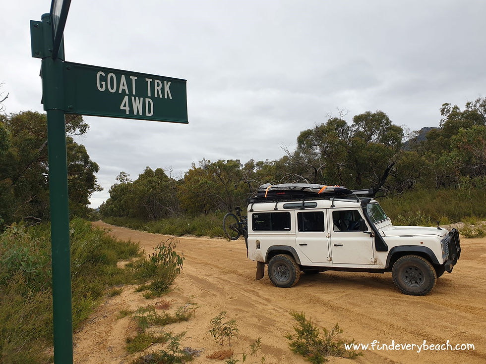
I enjoyed the Goat Track - relatively steep and narrow it takes you through some dramatic scenery.
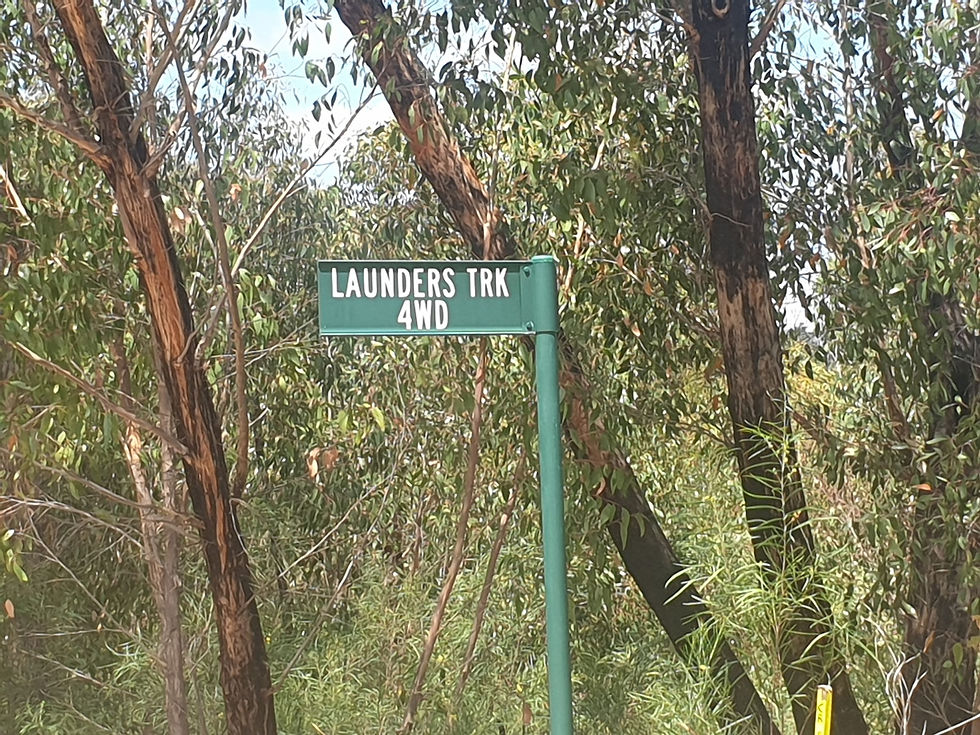
One down-side of not having researched the tracks before I drove them was that I was not sure of their condition or even where they went before I drove them.
My internet cover was intermittent and therefore so was my access to google maps.
Launders Track began with low gradient, then became rocky and steep, then significantly more ROCKY and STEEP (note the capitals)...
I not sure if it was passable (no other drivers to ask) and decided to reconnoiter ahead by foot. Due to the steep gradient even walking the track was not easy.
Coming to one particularly rutted, rocky, speed uneven portion with loads of sump scrape marks on the rocks, as well as some rocks adorned with swear words (written in chalk) I took the time to assess if I really wanted/needed to continue up.
The picture doesn't really show the steep gradient well.
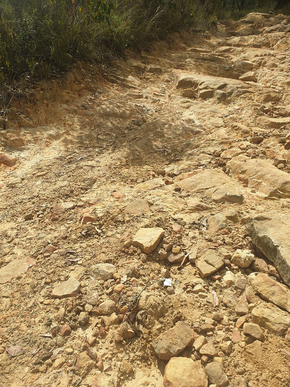
I knew the Landy could make it
I knew it had the clearance and pulling power it would need to get up and over the nasty section,
......but I decided that I didn't really need to take this track and that I would attempt to turn the Landy around instead.
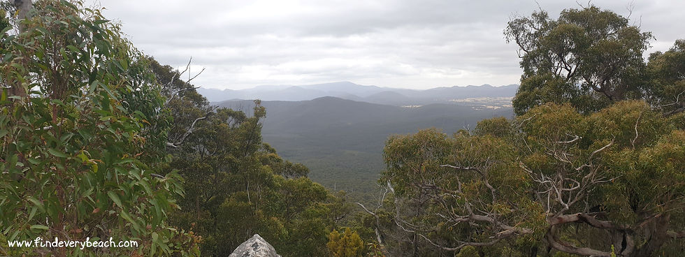
The view looking back down the track was panoramic, and I admit I would not have had much time to enjoy the view if driving, so walking was a good idea.
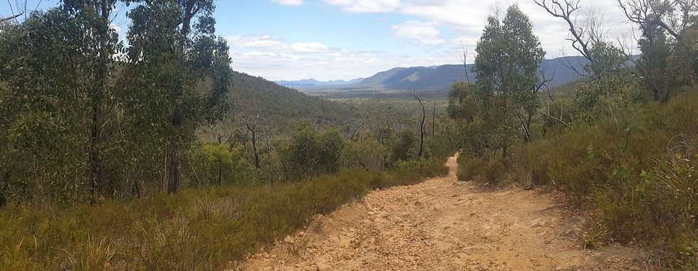
Mind you, turning around was in itself a little bit risky.
Land Rover defenders typically have a turning circle the size of a rugby field and back down the track a few hundred meters where I had left my vehicle was the best turning spot I had seen, even so it was a small platform on which to turn.
I had to choose between turning with the front or the rear of the vehicle facing a small drop-off. I chose to have the vehicle facing the drop off and backed the rear up the side bank as as far as I could in my turning maneuver. It wasn't a 10 point turn, maybe only a 6 point turn... but it was a little hair raising. and I was pleased to be safely turned around and heading back down the track without having gone off into the bush or broken anything.
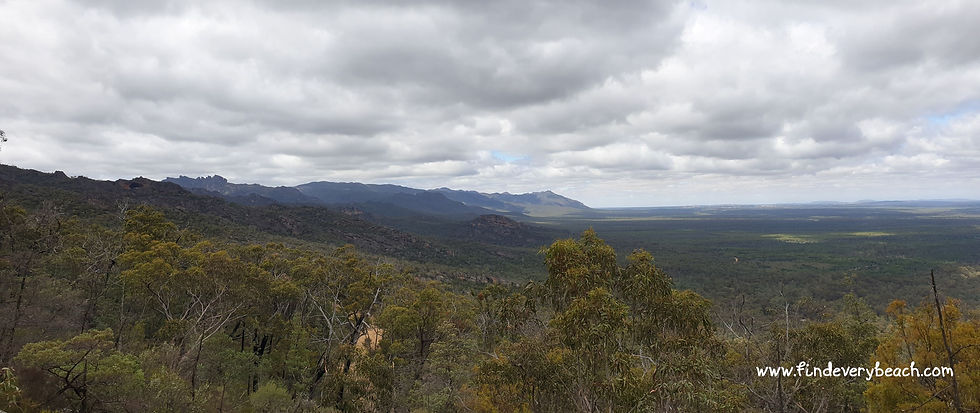
In my brief tour of the park I did head into the more 'touristy' areas: tarmac, crowds of people, nice footpaths, cafe's ... it was a public holiday (Australia Day) after-all.
I admit I found the civilization rather unsettling after the tranquility of the back-roads and I quickly made my escape up a trail called Chinaman's track.
There were a few points on Chinaman's Track where I was unsure if I had been wise to drive up it... but in the end it was perfectly fine and indeed, I enjoyed a peaceful nights camping at a roadside bush park partway along the track.
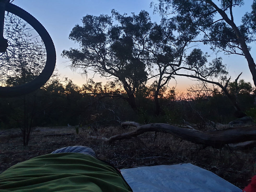
Day 3 in the park was spent walking up Briggs Bluff and then up Mt Difficult.
I mean, with a name like 'Mt Difficult' you really have to do it... there was no way I couldn't. However I do admit that I had planned on only walking the 6.5 kms (one way) to Briggs Bluff, and really only carried on as I had ended up walking with another hiker who was going that way. Whats another 2.5 kms (one way)... after all, I am on holiday and didn't have to be anywhere. !!
I had plenty of water, food, but silly me I had not checked that my phone camera battery or my go-pro batteries were fully charged and so I have only a few photos from the beginning of the trail.
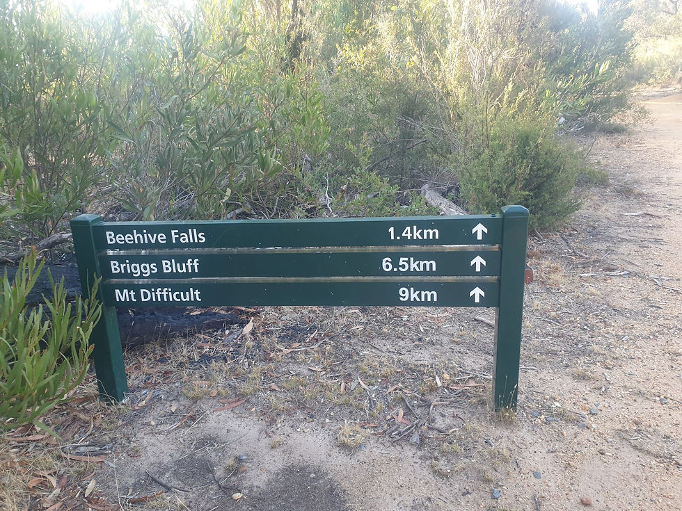
The Briggs Bluff-Mt Difficult walk is very much worth doing - highly recommended.
I can't state enough how majestic the landscape it.
But I do recommend getting an early start, as it would be very challenging to still be out on the trail after midday on a hot day.
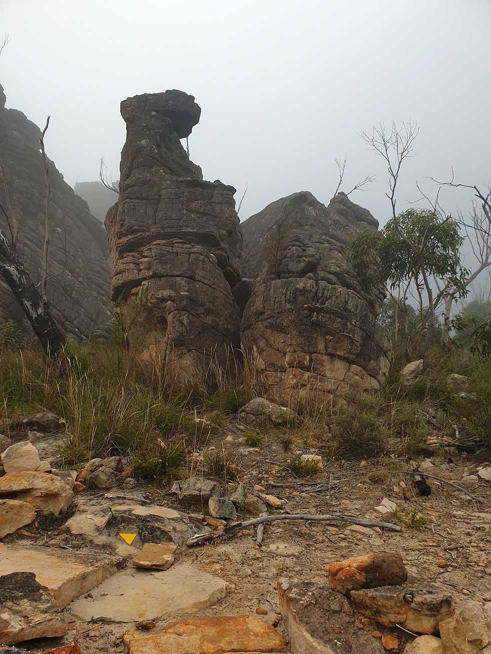
It took me about 3.5 hours to get to Mt Difficult trig/lookout. That is with stopping for picture taking and a food break.
Keeping a close eye out for the trail markers is essential.
The yellow triangles were quite difficult to find at times and without them I think it would be very easy to loose your way.
Previous hikers/park staff have placed cairns of rocks (in addition to the yellow markers) in some locations which was very helpful. I made a point to add a rock to the top of as many cairns as I could as I passed by.

Wanting to save time on the return, I decided to attempt jogging back as much of the tail as I could. I had very grippy shoes and a little bit of energy, so I gave it a go.
Success criteria : not breaking an ankle or leg and being airlifted out to hospital. Check.
Took me 1 hr 45 to 'run' back down, and by the time I got back to my vehicle my legs were jelly!!
Loads of fun.
I will be back to explore more of this wonderful national park one day.
I hope you have enjoyed this little snapshot of the Grampians, and if you have not been there yet, I encourage you to do so.
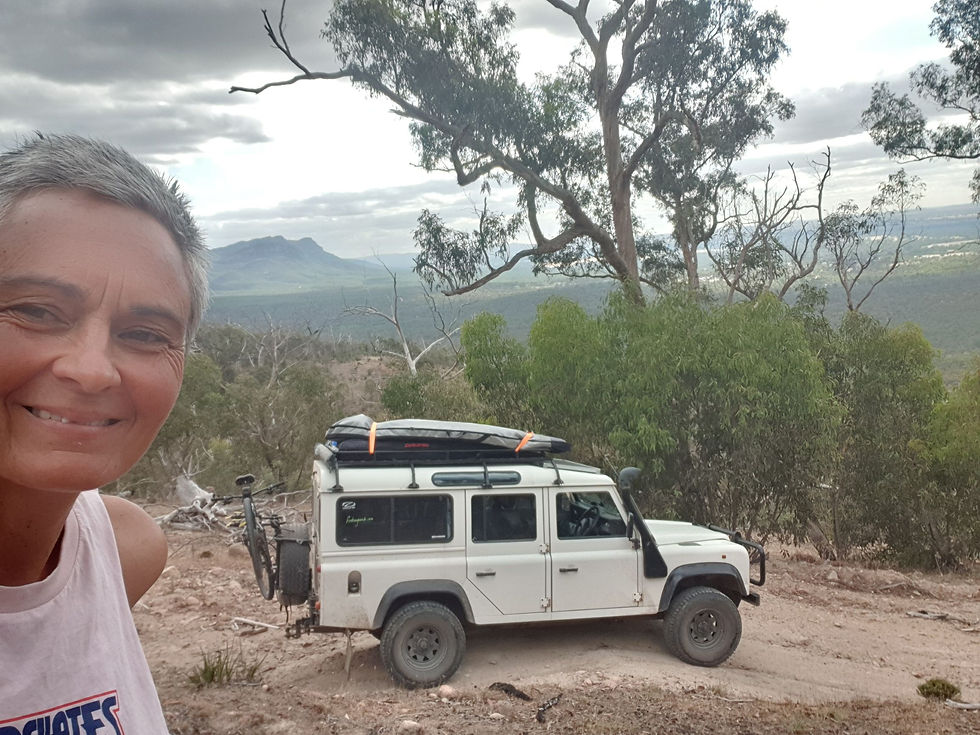
So many beautiful images I could share with you here, but I will instead load them onto a page dedicated to The Grampions - where I will share other hopefully useful information about the trails I took, the park etc etc.

Comments